
Have you ever used your phone to find the fastest route home or checked a weather map to see if a storm is coming? If so, you've already interacted with the world of geospatial!
This space is my dedicated page where I'll be releasing a series of articles discussing what geospatial is, how it's used, and some really cool things happening in this field. The first in this series is an overview of what geospatial is.
Often, 'geospatial' can seem like an intimidating word. In some ways, it is! The image below showcases just how much goes on in this space.
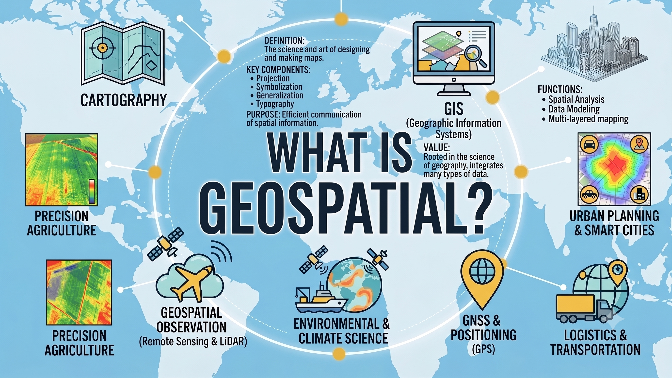
But at its core, it's simply the science of where. It's all about understanding a location and how things relate to each other based on their position on Earth.
Think of it as more than just a pin on a map. It's the entire journey, from how we collect data (like a satellite taking a picture or your phone's GPS pinpointing your location) to how we store, analyse, and visualise that information. Location is the key binder that ties it all together.
What makes geospatial so powerful is that it doesn't stand alone. It connects with and enhances other fields like climatology (for mapping estates at risk of flooding or subsidence), data science (for spotting neighbourhood trends in things like damp and mould), and engineering (for planning new, sustainable urban developments). This interdisciplinary approach allows us to solve a huge range of real-world housing problems.
Got a question about geospatial? Feel free to get in touch or head on over to the Housing Geospatial Podcast to hear how others within the housing sector are utilising geospatial data to support their residents.